Location and Altitude
- Location: Cusco Region, Peru (Inca Trail)
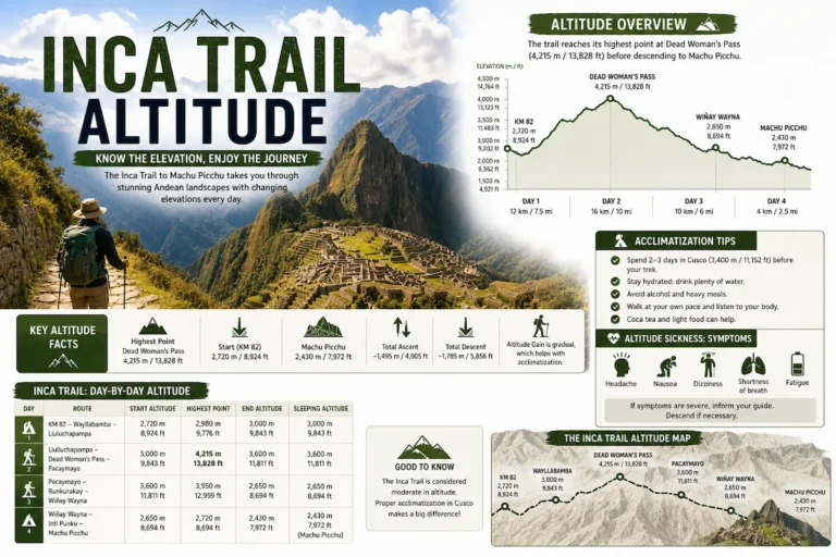
- Altitude: 3,760 meters (12,335 ft)
- Nearby pass: Runkurakay Pass (approx. 3,950 m)
- Trail section: Day 2–3 of the Inca Trail
Runkurakay is located just before a major mountain pass, making it a key stop along the route.
Meaning of Runkurakay
The name Runkurakay comes from Quechua and is commonly interpreted as:
- Egg-shaped building
- Basket-like structure
This meaning reflects the circular design of the structure.
History of Runkurakay
Runkurakay was built during the expansion of the Inca Empire under Pachacuti in the 15th century.
It likely served as:
- A tambo (rest stop for travelers)
- A control point along the Inca Trail
- A shelter before crossing the mountain pass
Its location suggests it played an important role in the logistics of the Inca road system.
Architecture of Runkurakay
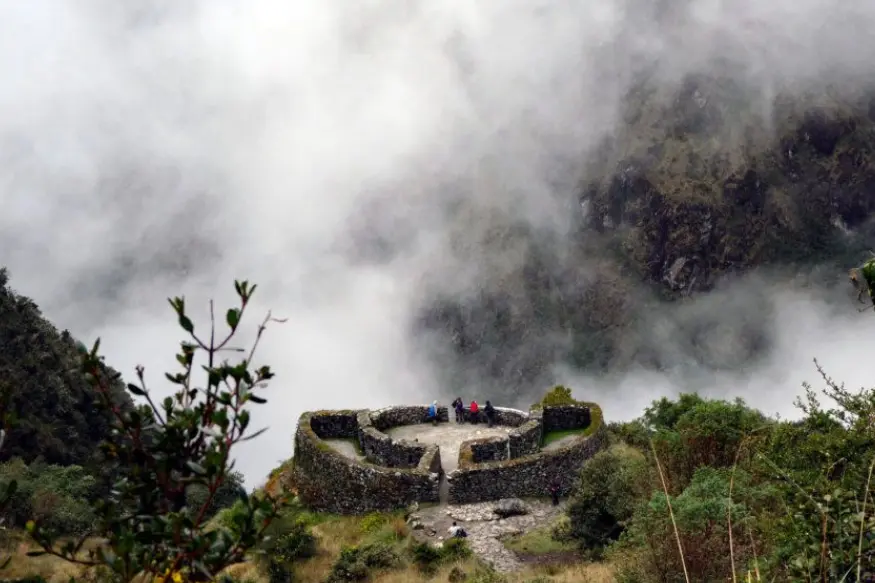
Runkurakay stands out for its circular layout, which is rare in Inca construction.
Key features include:
- Semi-circular stone structure
- Niches built into the walls
- Small windows for ventilation and light
- Terraces surrounding the site
- Elevated position with wide views
The design combines both practical and strategic elements.
Why Runkurakay is Important
Unique design
Its circular architecture makes it different from most Inca sites.
Strategic location
It is positioned along a key section of the Inca Trail, near a high mountain pass.
Connection to the Inca network
Runkurakay demonstrates how the Incas managed travel and communication across long distances.
How to Visit Runkurakay
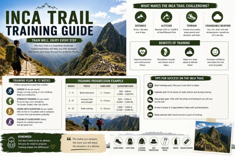
The only way to reach Runkurakay is by hiking the Inca Trail.
- Typically visited on Day 2 or early Day 3
- Route: Wayllabamba – Pacaymayo – Runkurakay – Sayacmarca
There is no road access to the site.
Weather at Runkurakay
- Climate: cool and humid
- Temperature: 5°C to 18°C
- Conditions: variable, often cloudy
Weather conditions can change quickly due to altitude.
Flora and Fauna
The surrounding environment includes:
- High-altitude vegetation
- Mosses and lichens
- Andean bird species
- Transitional ecosystems toward cloud forest areas
Travel Tips
- Acclimatize in Cusco before starting the trek
- Walk at a steady pace due to altitude
- Bring layered clothing
- Use proper trekking footwear
Frequently Asked Questions
What is Runkurakay?
It is a circular Inca archaeological site along the Inca Trail, likely used as a resting point.
How high is Runkurakay?
It is located at approximately 3,760 meters above sea level.
What was Runkurakay used for?
It likely functioned as a tambo and control point for travelers.
Can you visit Runkurakay without the Inca Trail?
No, it is only accessible by hiking the Inca Trail.